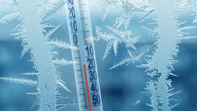
PORT ANGELES — A blast of cold air is bringing frigid temperatures to the North Olympic Peninsula this week, with lows dropping into the teens and low 20s through Thursday. The National Weather Service (NWS) warns that wind chills could make it feel even colder, particularly in areas influenced by the Fraser River Outflow, where temperatures could dip into the single digits.
The chilly conditions could lead to hazardous roadways as any melting during the day refreezes overnight, creating black ice on untreated surfaces. Residents are urged to exercise caution while traveling, especially in the early morning and late evening hours.
By Thursday, a shift in the weather pattern will bring increased chances of precipitation. Snow is expected to arrive first, transitioning to a mix of rain and snow by Friday. While only light accumulations—less than an inch—are forecast for lower elevations, uncertainty remains regarding rainfall amounts heading into the weekend.
NWS forecasters caution that temperatures will remain cold, and precipitation could impact travel across the region. Coastal areas, including Port Angeles and Port Townsend, will see breezy conditions alongside the cold snap.
Looking ahead, the extended forecast suggests continued below-normal temperatures with the possibility of increased precipitation into next week.