

PORT ANGELES – Cold weather will blow into our area today,
But now, forecasters are backing off a bit on predicted snow even though they have left a threat of snow in the forecast for the north Olympic Peninsula. They are still keeping an eye on a Fraser River outflow event, which could increase snow chances along the northern part of the Olympic Peninsula.
In an update this morning from the National Weather Service, forecasters say there be a rain and snow mix this afternoon then a chance of late this afternoon. The chances for any accumulation will be at elevations above 200 feet. Tonight, will bring a chance of snow in the evening and mostly cloudy skies. Saturday now features partly sunny skies with isolated snow showers in the afternoon.
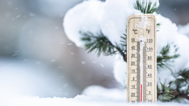
Highs today will reach the low 40s. But tonight, the low will be about 15 degrees. Tomorrow and Saturday highs will only reach the mid-20s.