PORT ANGELES – The north Olympic Peninsula continues to deal with the worst snowstorms in more than two decades.
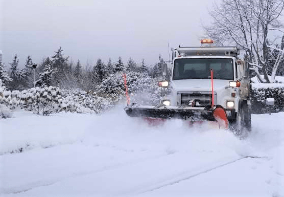
Snow accumulated to more than three feet in even some of the lowland areas of Port Angeles and Sequim as a monster storm moved in Friday and Saturday. Then another three inches coated the area overnight Sunday.
The weather has prompted closure of Port Angeles and Sequim schools. Crescent Schools is operating on a two-hour delay Monday. Peninsula College has closed Monday. Clallam County’s courthouse and Sequim city hall have shut down for Monday. Main roads have been cleared and crews have been out all night working on them. However, expect slippery spots as temperatures remain below freezing.
Forecasters say we’re in for more. The models are hard to come into agreement with a tricky mix of moisture, warmer and colder air.
That could bring a wintry mix to parts of south Washington. But for the north Olympic Peninsula it most likely means the possibility of another 8 inches of snow accumulating today, tonight and Tuesday. The National Weather Service says some models show the warmer air could move into the area sooner.
The rest of the week looks colder than normal, but the forecast brings mostly a chance of rain Thursday into Saturday with temperatures reaching the upper 30’s and possibly 40. Lows at night will be around freezing.